Montana Oil Pipeline Offers Rural Payments but Raises Water and Emissions Questions
A proposed tar sands pipeline could bring land payments and local revenue to eastern Montana, with unresolved questions about spills, water and fuel prices.
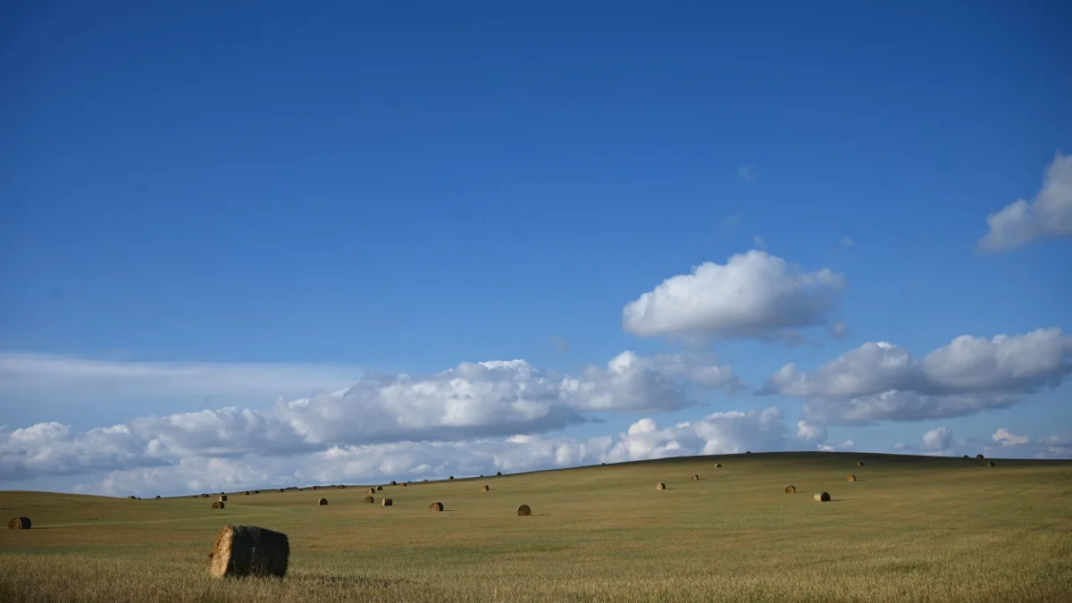
For eastern Montana landowners, Bridger Pipeline’s proposed 650-mile route presents a tangible prospect: payments for access to their property and, potentially, new revenue for rural counties. The same project would carry tar sands crude near water systems serving thousands of people, and its broader effects on fuel prices and emissions remain uncertain.
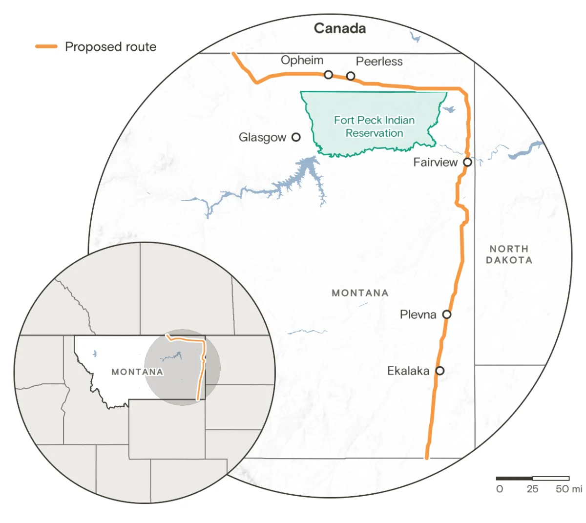
The pipeline, planned by Wyoming-based Bridger Pipeline LLC, would connect with an existing Canadian line and run through eastern Montana and Wyoming to Guernsey, a crude oil hub. The company says construction could begin within a year, but the project still faces route surveys, environmental review, permits and easement negotiations. Its proposed path includes nine Montana counties and crosses more than 50 miles of public land.
For farmers and ranchers who have weathered drought, high diesel costs and volatile cattle markets, the prospect of a one-time payment carries real weight. Yet the project’s appeal rests partly on expectations that have not been settled: how much landowners will receive, what the pipeline will ultimately supply, and whether additional crude will affect what consumers pay for fuel.
A payment with immediate value
Jerry Arnold has farmed near Opheim, a small community close to the Canadian border, throughout his life. Last year’s warm, dry winter left little snowpack to replenish soil moisture on his unirrigated fields. The resulting strain came after several difficult seasons.
Arnold has seen pipeline payments matter before. During the drought and heat of the 1980s, grasshoppers compounded crop losses, and he wondered whether his farm could survive. A payment for an easement to the Northern Border Pipeline, which transports gas from Canada toward the American Midwest, helped him keep farming. The line runs for 105 miles through Montana.
That experience shapes his view of Bridger’s proposal. He says he expects a substantial check if the project crosses his property. When the company first approached him about an easement, he joked that he wanted the route to make loops across his land: more pipe on a property could mean a larger payment.
Pipeline companies generally negotiate directly with landowners for easements, which give a company permission to place and maintain a line on private land. Payments vary with the length of the crossing and the terms each landowner negotiates. Companies may also pay for survey access and some preliminary legal costs. Because agreements are often private, the likely total for Bridger’s route is unknown.
Past offers for the Keystone XL project illustrate how widely those payments can vary. In 2012, some landowners reported offers as high as $38,000. In Nebraska, some people who resisted the route said they received signing-bonus offers worth tens of thousands of dollars, with a few reporting figures above $150,000. Those earlier offers do not establish what Bridger landowners will receive.
Bridger says it has paid roughly 450 landowners along its preferred route for permission to survey their properties. Spokesperson Bill Salvin declined to state the total amount. Easement payments would come later, after the company settles a route and completes additional steps.
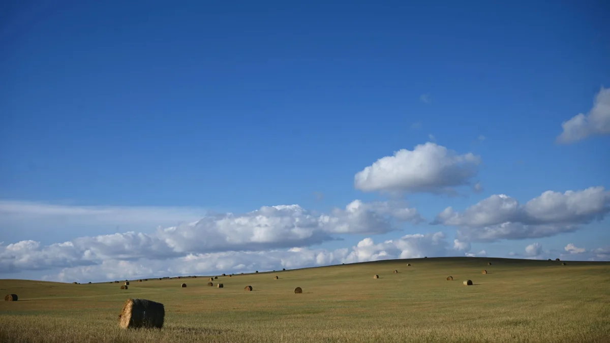
That distinction matters for people weighing the project. Survey payments compensate landowners for access during planning; an easement payment would be a separate agreement tied to the pipeline crossing. The company has proposed three routes, one of them preferred. Surveys are meant to assess terrain and environmental conditions before the route and required construction approvals are finalized.
County hopes and the cost of uncertainty
The potential benefit reaches beyond individual properties. In Daniels County, about 50 miles of the preferred route are proposed. The county has roughly 1,600 residents, and around 11 percent live in poverty. Commissioner Tammi Fladager says local communities need additional economic activity and sees a major project as a chance to bring money into the area.
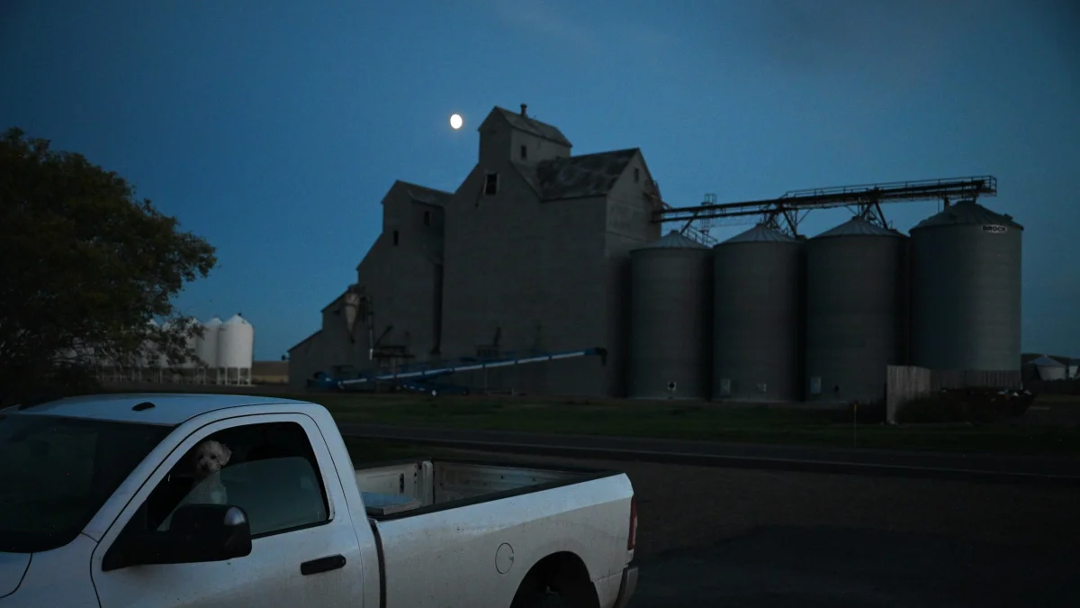
Bridger estimates it would hire 2,000 to 2,500 construction workers. The company says workers would stay in temporary housing it provides. After construction, it anticipates 50 to 100 full-time jobs in Montana to operate and maintain the line.
Those figures describe the company’s expectations; the eventual local impact would also depend on where workers spend money, how much construction activity reaches nearby businesses, and what counties collect from the finished infrastructure. In rural eastern Montana, where population and economic activity are thinner than in the western part of the state, a new source of local revenue can loom large.
Oil and gas activity already supports much of the eastern economy. In Carter County, commissioners say existing oil and pipeline infrastructure supplies most property tax receipts. Daniels County, by contrast, has no existing pipelines contributing to its tax accounts, according to publicly available pipeline mapping. That makes possible new revenue especially appealing to local leaders.
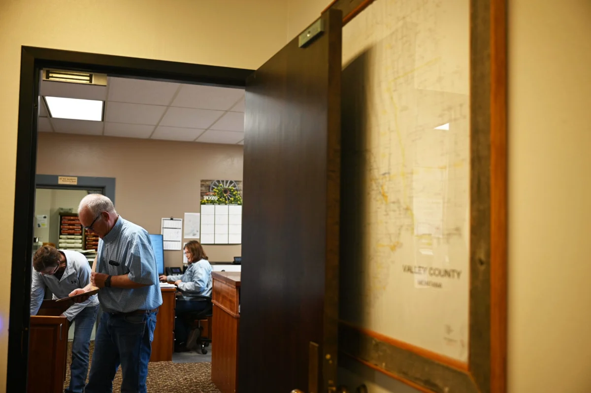
Neighboring Valley County has seen how expectations can run ahead of a project. When Keystone XL was proposed, residents invested in businesses and vehicles, and the community approved a $16.8 million school bond amid expectations that the line would generate tax revenue. The project was later abandoned. County Commission Chair Paul Tweten recalls the disappointment, a reminder that anticipated proceeds are not the same as money received.
For rancher Bob Thielen, whose land near Plevna is on Bridger’s preferred route, that history makes the planning phase feel unsettled. His property was also in the path of Keystone XL. He supports the Bridger proposal and says he trusts the company, but years of surveys, negotiations and visits to his land can be burdensome while the final project remains undecided.
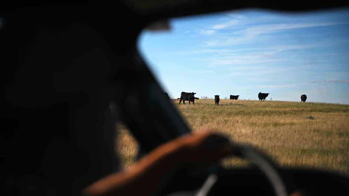
Thielen also wants clearer information about the crude’s destination and whether moving it would lower fuel costs. The route to Guernsey may be only one segment of a longer journey. Bridger and South Bow plan a separate line to carry tar sands crude from Wyoming through Colorado and Kansas to Cushing, Oklahoma. From there, the oil could be stored or transported to the Gulf Coast for export.
Salvin says the project is expected to start at 550,000 barrels per day. At full capacity, it could carry more than one million barrels daily. He argues that additional supply can help make markets more stable during periods of disruption. But he says it is impossible to predict whether this particular pipeline would change fuel prices.
That uncertainty is central to the local debate. The project could provide easement payments, construction activity and tax receipts, while the effect on household fuel bills is unclear. The crude’s eventual route also means its economic benefits may be spread across several locations, rather than concentrated in the Montana communities along the line.
Water risks near Fort Peck
The preferred route passes just north of the Fort Peck Reservation boundary, coming within two miles at its closest point. It would not cross reservation land. Tribal leaders have nevertheless raised concerns that a spill could threaten drinking water for thousands of Native and non-Native residents.
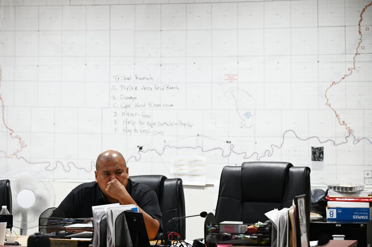
The proposed line would pass near systems that draw water from the Missouri River and would cross the Poplar River, which flows into the Missouri. At a meeting with land-management representatives, Fort Peck Tribal Executive Board member Jestin Dupree asked what would happen in a worst-case spill and how responders would protect water and document harm to tribal resources.
The concern is grounded in a previous incident. In 2015, another Bridger pipeline released at least 30,000 gallons of Bakken crude into the Yellowstone River. About 6,000 people in Glendive, whose treatment plant was downstream, were told at the time not to drink the water. Bridger later settled a civil lawsuit related to the spill for $2 million.
Data from the federal pipeline safety database records 12 spills from Bridger lines since 2012. In 2023, Bridger and Belle Fourche agreed to pay a $12.5 million penalty following oil spills in Montana and North Dakota and to make improvements. These records do not by themselves predict the safety of the proposed line, but they help explain why tribal representatives are pressing for detailed plans before construction.
Salvin says the company has strengthened its safety practices since the Yellowstone River spill. He says new lines are designed with round-the-clock monitoring and several leak-detection systems, including one that uses artificial intelligence. The practical value of those measures will depend on how quickly a leak is detected, how reliably systems work and how swiftly crews can reach a spill site.
Krystal Two Bulls, who leads the Indigenous environmental organization Honor the Earth, says locating a line just outside a reservation can leave nearby communities exposed to impacts while the route avoids tribal land. Bridger says it chose a path that does not cross the reservation because tribal members have said they do not want additional pipelines. Salvin says the company would rather work with landowners who are willing to host the project.
Emissions and unanswered questions
The crude itself has a higher climate footprint than conventional oil. Tar sands crude is a dense mixture of sand, clay, water and heavy petroleum. Research cited in the source material estimates that it generates about 20 percent more greenhouse gas emissions than conventional crude. Extracting the bitumen also requires substantial water and gas for heating and mining; processing and burning the fuel release additional heat-trapping emissions.
At a meeting with tribal representatives, project lead Phillip Blundell said the environmental analysis for the line would consider emissions from construction, not the emissions from refining and burning the oil. The distinction leaves the project’s direct construction footprint separate from the much larger question of what happens when the transported fuel is used.
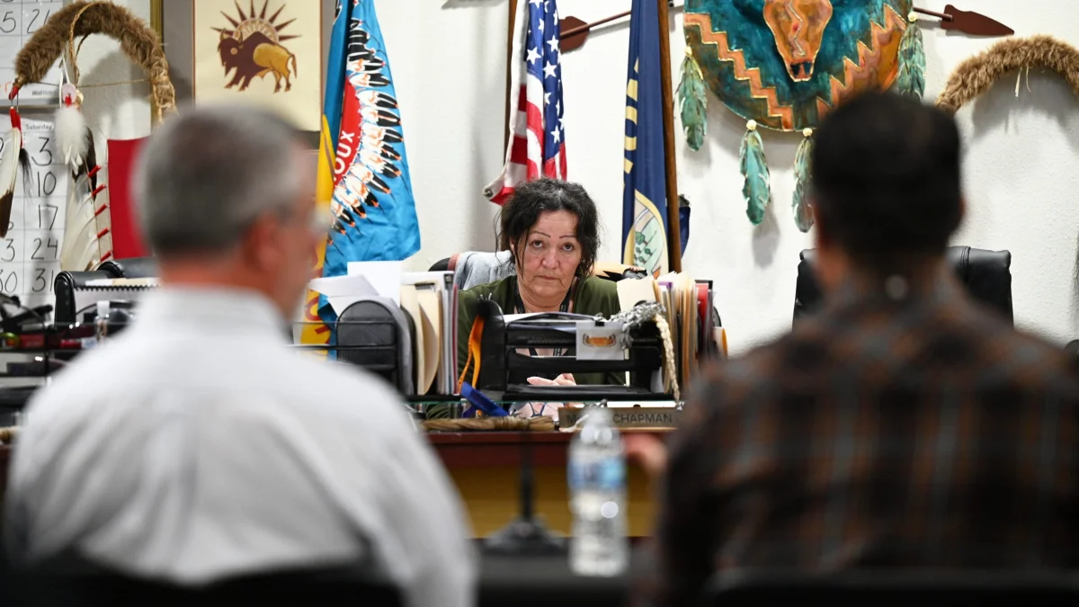
Tribal representatives also asked about emergency response, how damage to natural resources would be recorded, and plans for safety concerns connected to temporary worker housing. They received few specifics at the meeting. Representatives said Bridger had not yet supplied enough logistical information for the environmental analysis to advance.
Bridger says it is preparing technical assessments to address tribal questions and plans to meet with the tribal council in December. Dupree said in mid-October that he was not aware of a meeting on the calendar. That gap reflects a wider information problem: several landowners say they still do not know precisely what the line will carry, where the crude will go or what practical benefit it might bring them.
The next decisions will determine whether Bridger’s proposed economic gains become concrete and whether communities get answers about water protection, spill response and the crude’s destination. Surveys, environmental review, permits and easement negotiations still stand between today’s proposal and construction. For landowners and nearby residents, the clearest measure of the project will be whether those steps produce specific commitments alongside the promised payments.